This is a custom display of points in chronological order from when I went backpacking in Virginia on the Appalachian Trail during the early Spring of 2011. I had set out to solo hike a few hundred miles starting from where I left off years ago when I had hiked 400 miles of the southernmost portion of the trail. Spring Fever is a serious condition that plagues most long-distance hikers: a burning itch to escape into the mountains for the coming of Spring.
Trail Journaling is an already established genre. But because I built my own tool for posting microblog content such as these, I own and control all the data. Maybe that sounds obvious, but the series here exists primarily as an illustration of that fact. The micro-content was born in and lives in the same system as my project portfolio. A collection of points (called a line) can easily be promoted to the position of project, with no duplication and a minimum of recontextualization. Blurring the line between origination and documentation.
As usual the photos were taken with my Android phone in 1-megapixel (640x480) format. Using this portable phone device as a gps, topo map, radio, cd player, flashlight, and weather vane, I was also planning to post lots of stuff in real-time during the hike. Well I didn't post as much as I had wanted because of battery power and because Southern Virginia has very shitty cell coverage. That didn't upset me too much though as this was all something of a quasi vacation field research art trip in the mountains of America.

 tomorrow i am leaving for a backpacking trip on the appalachian trail to hike the state of virginia .. for about a month i will be posting mindless dribble and photos of animals and thru-hikers and such .. but first i must travel by train to the trailhead
 just finished the last cup o' starbucks i gonna c fer a long time .. god it was good
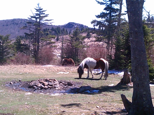
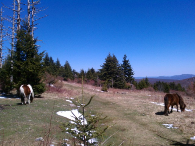
 geared up .. full o' beer .. ready to hike outta here .. in damascus va and soon onto mount rogers .. highest mountain in virginia and populated by wild ponies
 i m on top of mt rogers highest mntn in virgina


